
Industry
Agriculture
Crop monitoring, spraying support and farm-airspace visibility
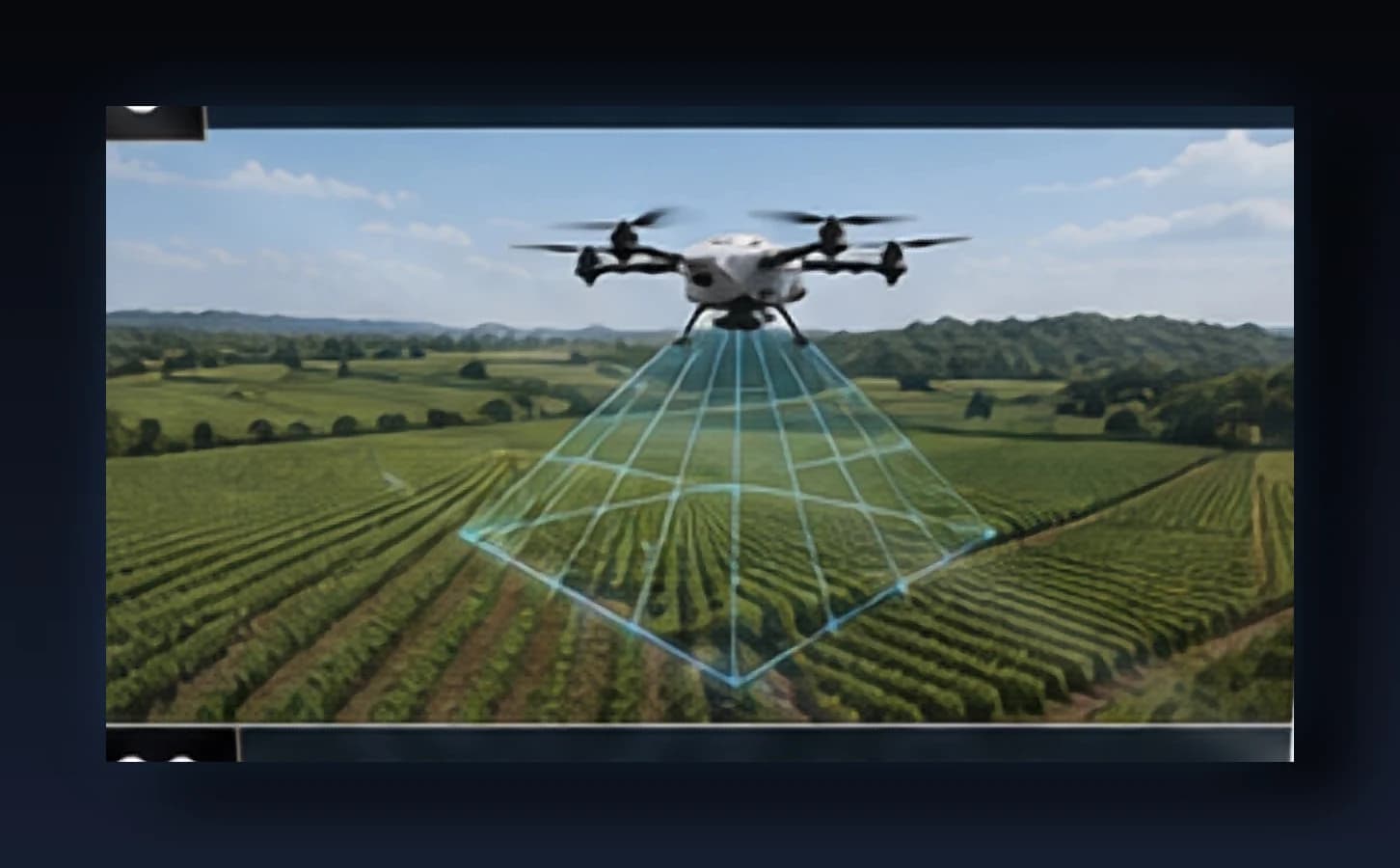
Overview
Large agricultural operations need low-altitude airspace coverage for a different reason than defense sites: to keep their own UAV fleets and third-party drones coordinated, and to convert aerial imagery into actionable crop data. KSHATRADRONE’s VTOL and fixed-wing platforms support multispectral crop monitoring, precision-spraying support flights and large-acreage survey, while SkyOS-based airspace tools help operators track multiple UAVs in flight at once.
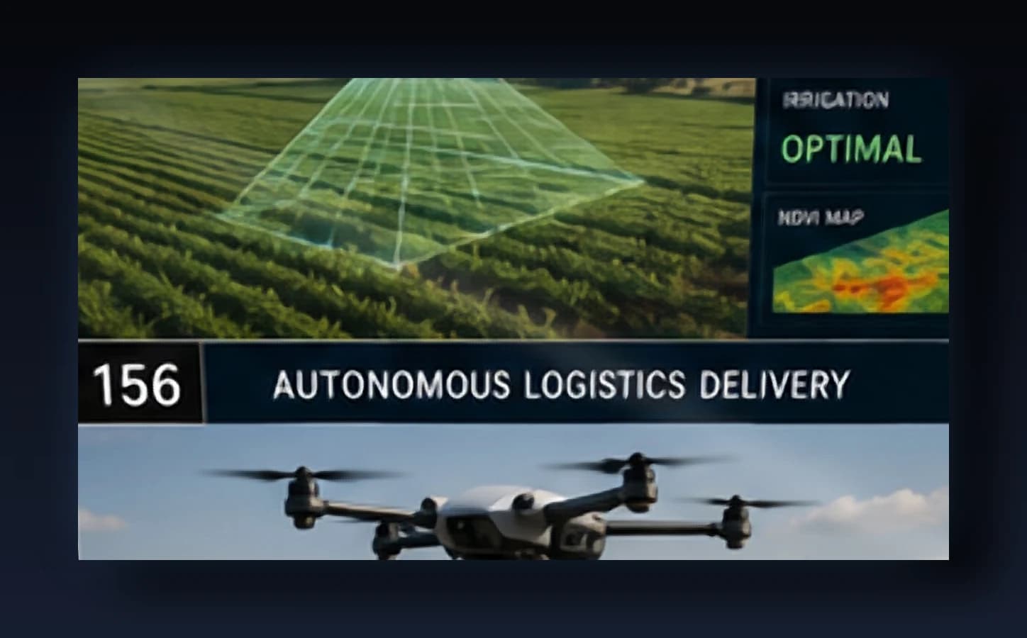
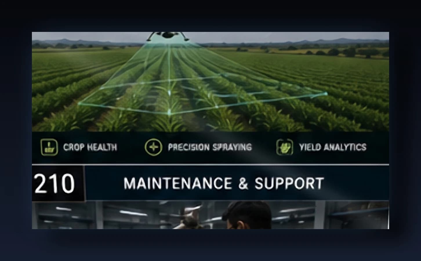
Threats We Address
- ▸Unmanaged multi-drone operations over large acreage
- ▸Delayed detection of crop stress, pest or irrigation issues
- ▸Unauthorized surveillance or payload drones near farm assets
Recommended Platforms
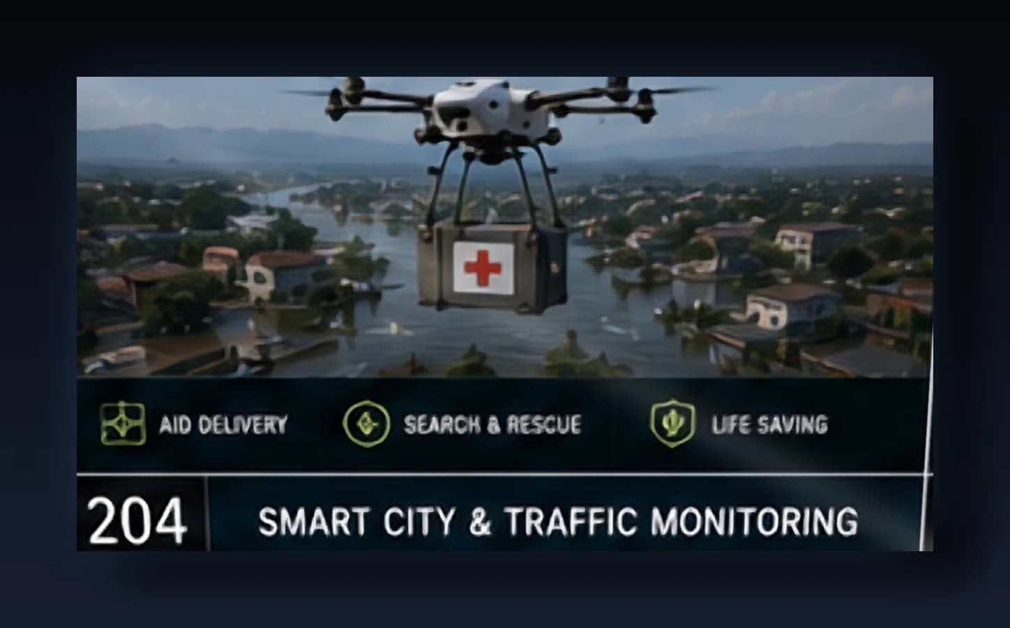
KSHATRA M-2
Quad payload drone for industrial and disaster-response missions
View specifications →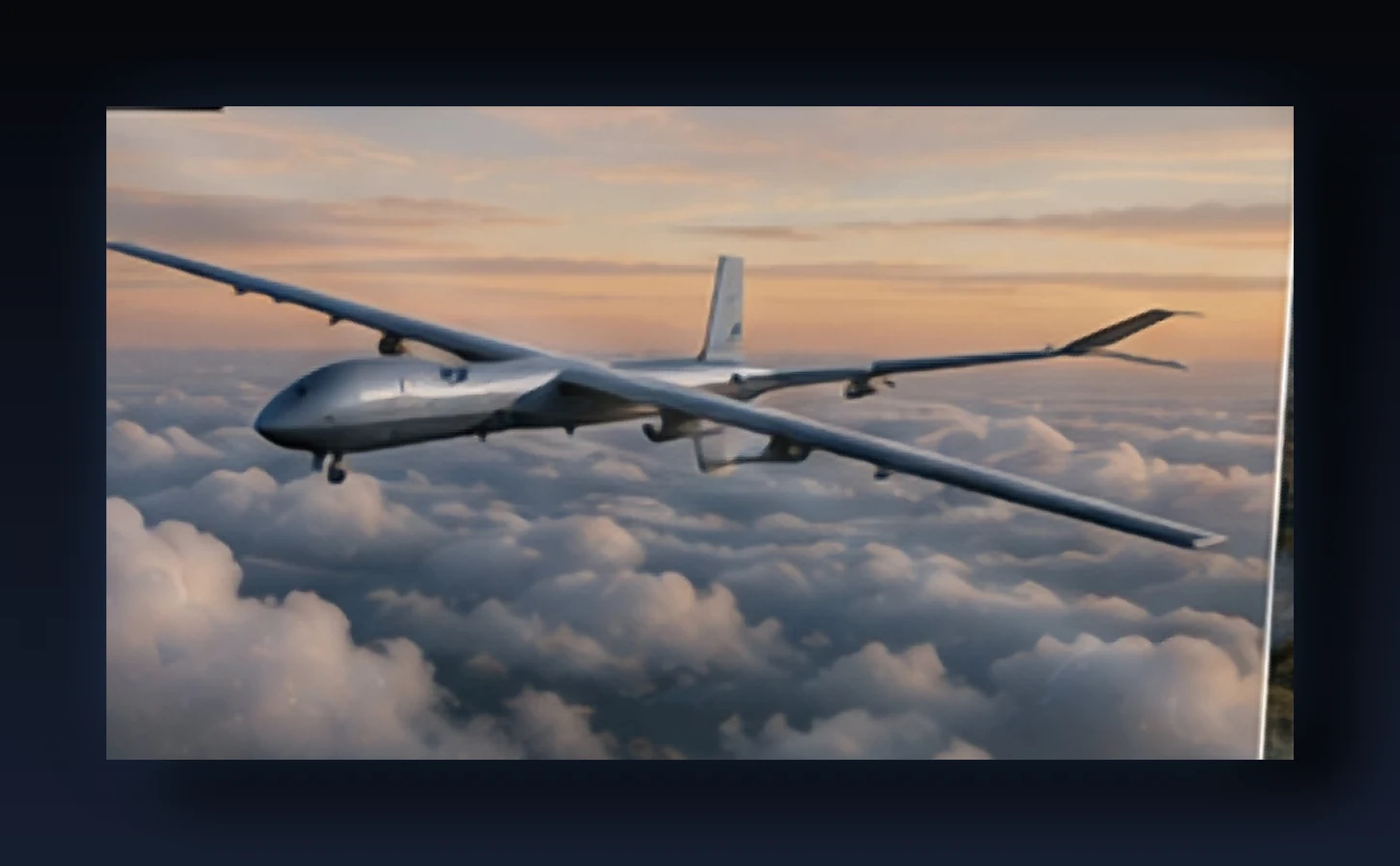
KSHATRA M-12
Compact hybrid VTOL for extended-endurance surveillance
View specifications →
KSHATRA M-1
Compact hybrid VTOL for mapping, inspection and search operations
View specifications →Ready to evaluate KSHATRADRONE for your mission?
Speak with our systems engineering team about deployment scope, integration timelines and procurement pathways.